Clipping
Often times we want to clip out LiDAR points using a shapefile. This can be done using pyfor’s
Cloud.clip method. pyfor integrates with geopandas and shapely, convenient geospatial packages
for Python, to provide a way to clip point clouds.
import pyforimport geopandas
# Load point cloudpc = pyfor.cloud.Cloud("pyfortest/data/test.las")pc.plot3d()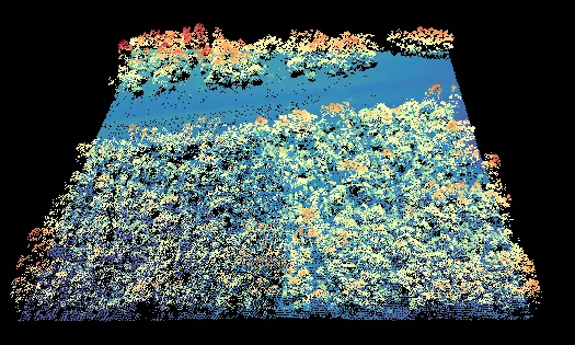
As input to the clipping function we need any shapely.geometry.Polygon our heart desires, as long
as its coordinates correspond to the same physical space as the Cloud object. Here I extract a
Polygon from a shapefile using geopandas:
# Load the polygonpolys = geopandas.read_file("pyfortest/data/clip.shp")poly = polys["geometry"].iloc[0]Finally, pass the Polygon to the clipping function. This function returns a new Cloud object.
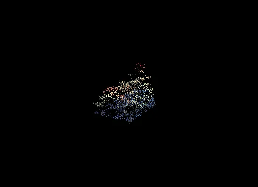
# Clip the point cloudclipped = pc.clip(poly)clipped.plot3d()